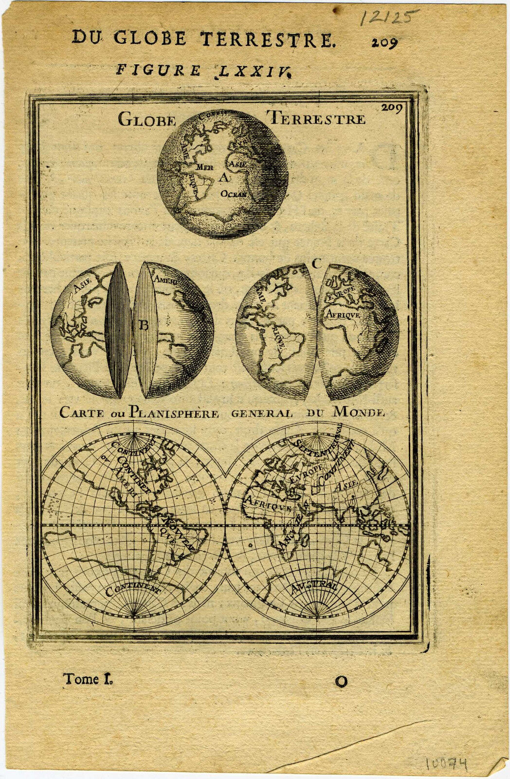
1683 Genuine Antique Map Eastern Hemisphere. Early Longitude lines. A M Mallet
Rated 5 out of 5 based on 5 customer ratings
$21.12
83
Original/Reproduction:Original Condition:Very Good. See Photograph Type:Map Maker:Mallet
Genuine Antique map “Cercles de Longitude” from Description de l’Univers by Alain Manesson Mallet, Paris, 1683. This copperplate image shows the eastern hemisphere with longitudinal lines when the the theory of longitude was in the very early stages. Map is in very good condition with only
faint age toning. Image measures 5 5/8″x 4″. THIS IS NOT A REPRODUCTION! All of our items are genuine antiques as described.